 |
||||||||
|
||||||||
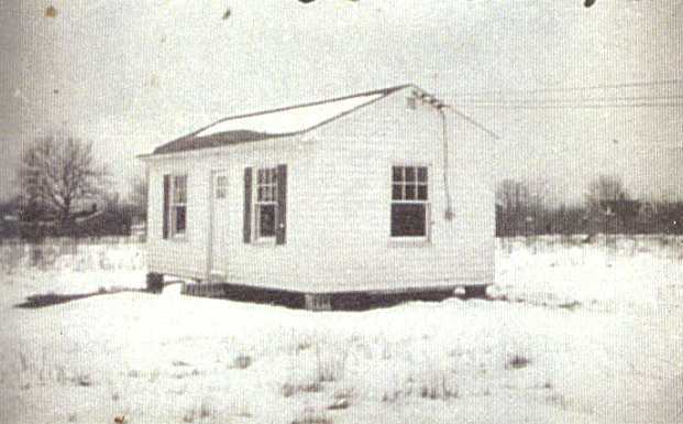
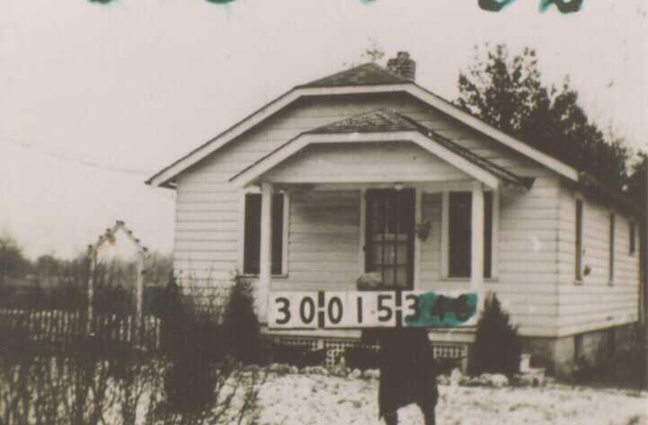
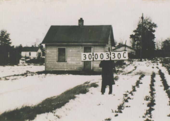
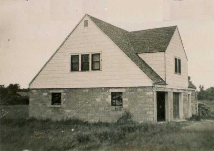
Consisting of thirty-four lots plus an "exempted lot", it appears that about six houses, mostly bungalows, pre-dated the platting and were thus incorporated into the addition. The balance of the lots were improved on within five to ten years with several homeowners purchasing one or more adjacent lots to increase yard space or build a larger house. At its peak during the late 1940s to mid-1960s, Deanville contained about twenty-two houses, mostly fronting on Sylvania Avenue and Deanville Road - an interior road that was unimproved during the early years of the neighborhood. What is noteworthy is that most of these houses were occupied by African-Americans during Deanville's early existence. Together with a few households clustered across King Road, Deanville comprised the largest black settlement in Sylvania Township, with an estimated population of 58 in 1970. Early photographs reveal that some of the houses were very crudely built and in some cases, lacked a foundation. At least nine houses lacked some or all plumbing facilities in 1970. Several only lasted a few years before being abandoned or replaced (At least two houses were demolished by 1967 both less than twenty years old). Others, primarily brick veneered structues, survived longer. During the 1970s and 1980s, as the area became increasingly industrial - the plat was surrounded on two sides by junkyards - many of the residents began to leave Deanville. Subsequently, most of the houses were abandoned and demolished. By the 1990s there were only about eight houses left and at least three were vacant and dilapidated. In the early 1990s, a commercial development company began buying up lots in Deanville. In 1999, plans were announced to redevelop the entire area into a commercial/industrial park and all traces of Deanville were removed early in the next year.
CENTRAL AVENUE PARK
Central Avenue Park is located on primarly flat terrain, with two ditches running through the plat: Schlicker Ditch and a branch of Hill Ditch.
Meanwhile, commercial developement continued along the namesake major thoroughfare, Central Avenue. By 1960, there were about fourteen establishments located along the six block stretch between Holland-Sylvania and present day I-475 including gas stations, a feed store, groceries, taverns, hotels and restaurants and auto-related repair shops. Being part of U. S. 20 - a major trans-continental route, brought plenty of these auto-related busineses to Central Avenue Park in the days before the interstates had made significant inroads into the transportation system.
| ||||||||||||||||||||||||||||